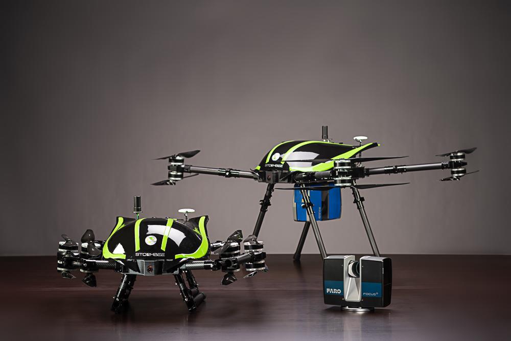
STORMBEE BEEMOBILE
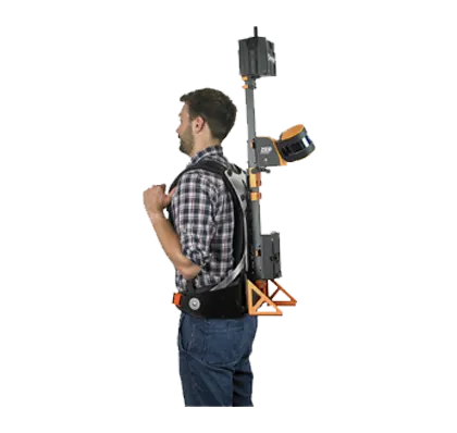
From the sky, from over the water or land, with its design-drones UAV S20 and mobile platforms BEEMOBILE does not only laser scan places that are hardly reachable, but also performs under the harshest of conditions up to an unbeatable precision of 1mm.
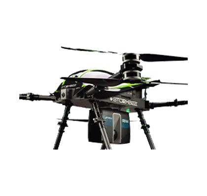
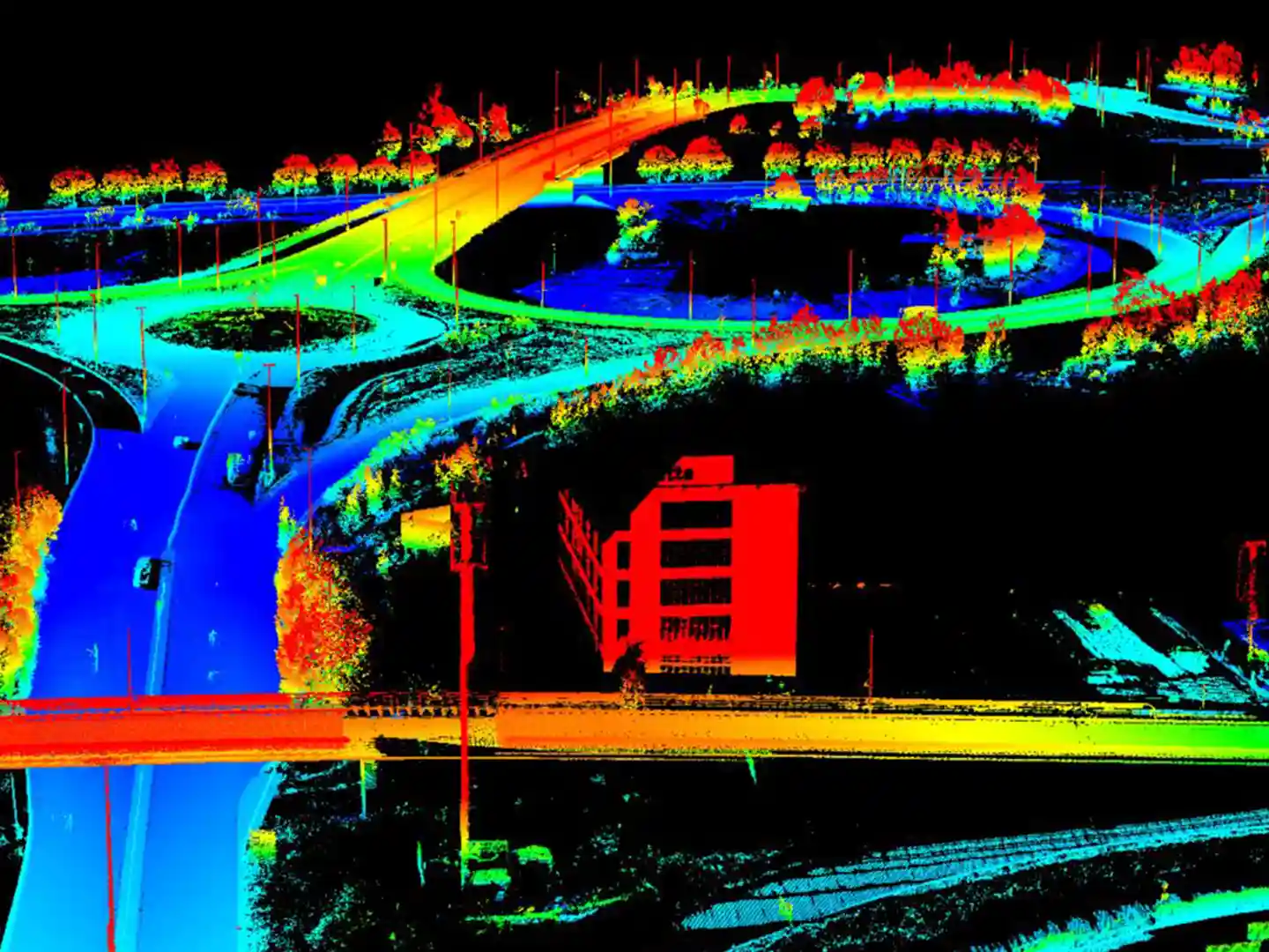
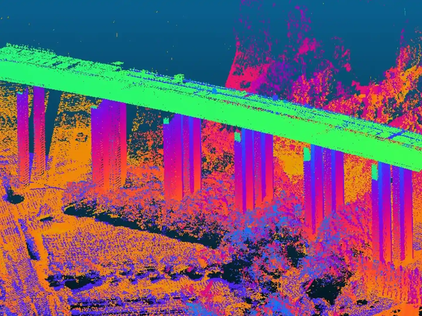
STORMBEE UAV-20 is used for aerial surveys of industrial facilities, storage areas, forestry and agricultural land and the other spaces difficult to reach in a road vehicle. STORMBEE UAV-20 has a light carbon fiber frame and can be equipped with any FARO 3D laser scanner.
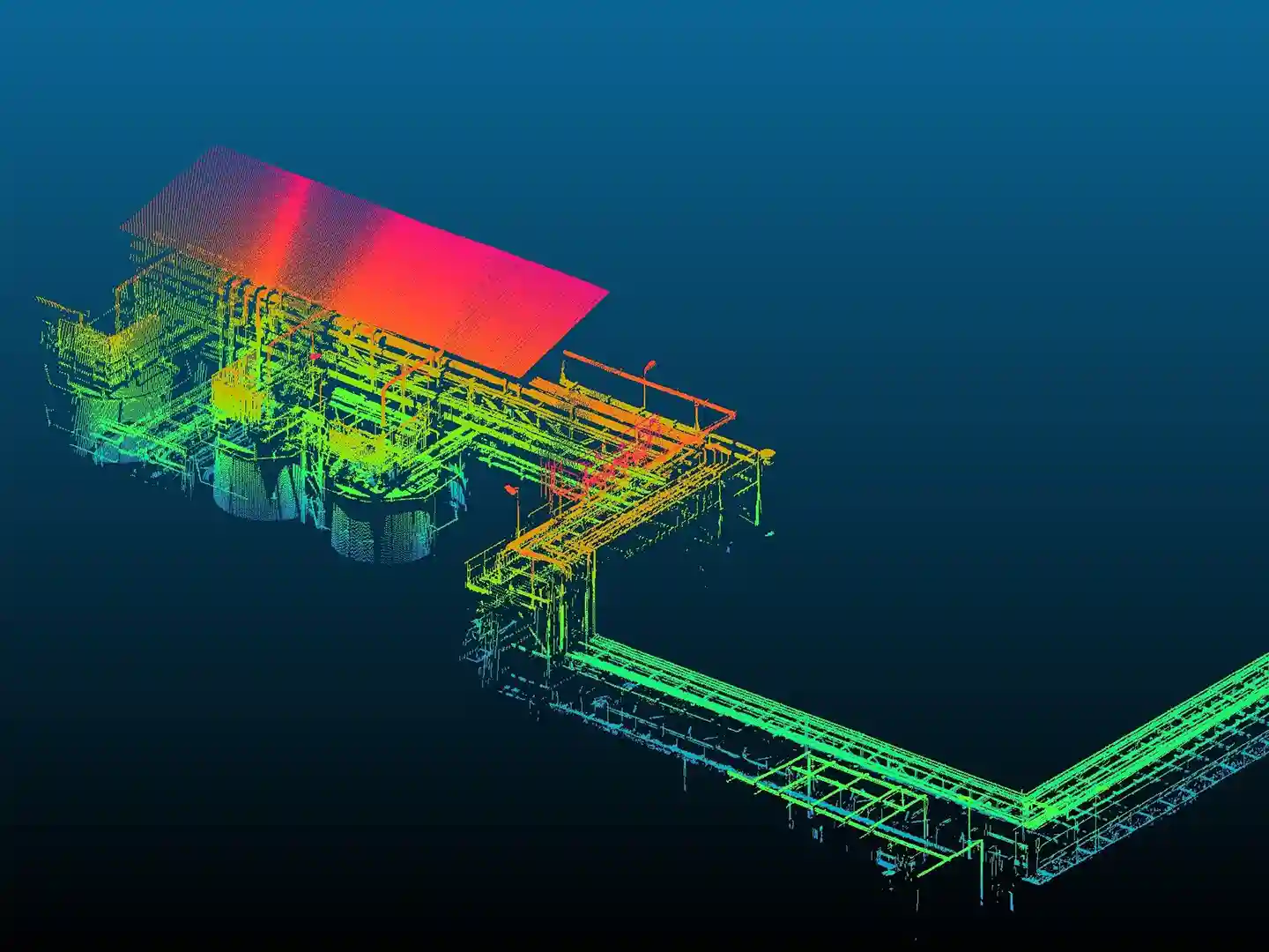
STORMBEE is world leader in mobile mapping technology and relies on an unmatchable 3D-laser scanning experience in the most complex and high-demanding circumstances. Each application is developed in-house, modified to the needs of the site that has to be scanned and is produced on the premises. Coupled with STORMBEE’s in house developed and user-friendly BEEFLEX-software a laser scan becomes – in real-time – a very detailed and ready-to-implement RD point cloud.
- Overview
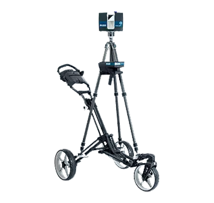
- Dimensions: 145 cm x 150 cm x 60 cm
- Size for transport: 70 cm x 60 cm x 40 cm
- Weight: 15 kg (excluding scanner)
- Fully automatic takeoff, flight trajectory, and landing via iPad control station.
- Flight time: 15 minutes
- Flight Speed: 0 to 15 m/s
- Altitude: 10 to 100 m
- Wind resistance: 30km/hr
- Operating environment temperature: -5°C / 45°C
- Full carbon fiber frame with foldable motor arms
- Vertical field of view: 300°
- Absolute point cloud accuracy @ 30m: 5 cm
- Relative accuracy: 1-2 cm
- Export formats: LAS, E57
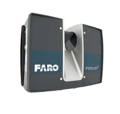
- Compatible with any Faro terrestrial laser scanner
- Measurement range dependent on Faro scanner option
- Built-in power supply for Faro scanner
- Included software: flight planning, GNSS post-processing, and point cloud reconstruction
- GNSS base station can be used optionally for best results at remote locations