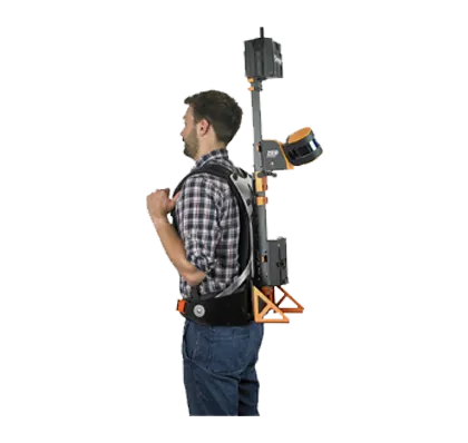
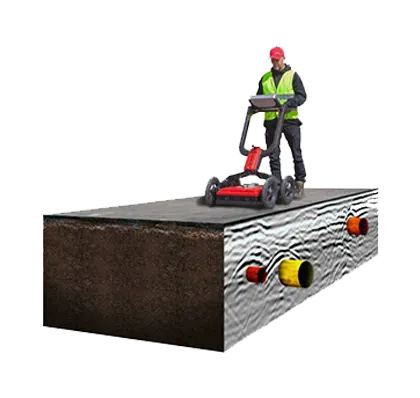
A technology that locates objects buried underground
GPR (Ground penetrating Radar) has been developed into a sophisticated technique that can provide detailed images of the near surface. As opposed to other locating techniques that are capable of detecting only metallic or conductive utilities and underground targets, GPR can locate and characterize both metallic and non-metallic subsurface features. It is completely non-intrusive, non-destructive and Safe.
In the radar that penetrates the ground, there are a large number of reflected signals received by the receiving antenna. After analyzing these reflected signals, we infer the size, shape and location of the terrestrial objects.
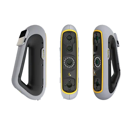
- Overview
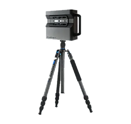
- Display: 10.1” LED, 1280 x 800
- Processor: INTELL Core Atom
- Input device: Resistive touch screen
- Operating system: Windows 10
- Working memory: 2 GB
- Data memory: 64 GB HDD
- Feedback: Voice commands, visual
- Dimensions & weight: 250 mm x 180 mm x 50 mm / 1200 grams
- Αccessories: AC/DC adapter, Power Cord, Protective bag
- Safety Certification: CE
- Battery: Lithium polymer, lasts up to 9 hours
- With external battery up to 15 hours
- Charging Time (Battery fully discharged): ca. 1 Hours
- Leather carry bag and neck straps
- -Geophysical ground resistivity locator,
- 4 probes mode as standard & 22 probes system accessory.
- Manual ground rejection.
- Magnetometer with gradiometer 80 cm probe.
- Automatic ground rejection.
- 3D Metal Detector with discrimination. Manual ground rejection.
- Auto scan: Readings are captured automatically at intervals selectable from 1/sec to 100/sec
- Manual scan: Using the capture key.
- Real time data graphics for both modes.
- Geophysical : 1 – 30 m.
- (increases with the distance between the probes)
- Magnetometer: 6 m.
- Metal Detector: 2 m. *dependent upon target size
- Auto scan: Readings are captured automatically at intervals selectable from 1/sec to 100/sec
- Manual scan: Using the capture key.
- Real time data graphics for both modes.
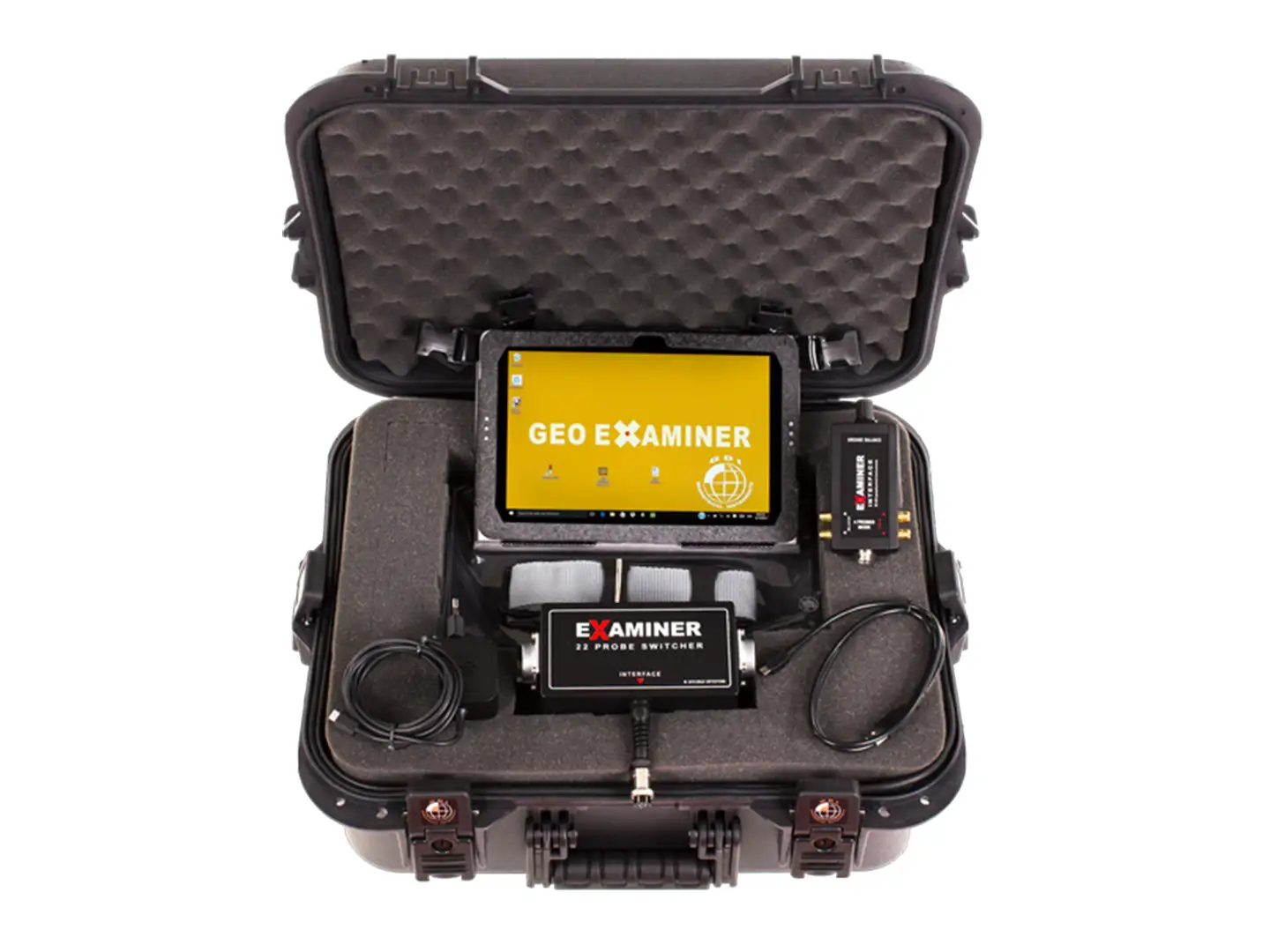
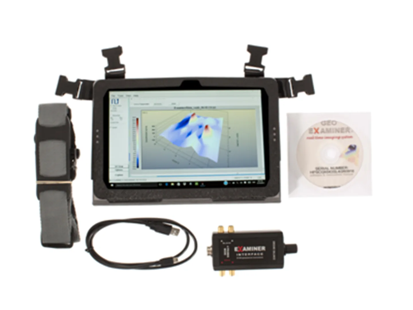
- GEO EXAMINER Computer
- Interface with USB cable
- Geophysical locator with 4 probes / cables in watertight case
- Software and hardware driver CD
- Auto scan: Readings are captured automatically at intervals selectable from 1/sec to 100/sec
- Manual scan: Using the capture key
- Real time data graphics for both modes.
- Geophysical 22 probes system. Includes module, 22 probes, 2 x 17 m. long multi cables.
- Magnetometer in hard carry case.
- Metal Detector in hard carry case.
On site real time 2D / 3D target presentations, interpretation, modeling, replay, exporting to bmp, jpg, metafile, png and data file formats, printing
- Geophysical locator: 137 Hz
- Magnetometer: +/- 50,000 nT
- Metal Detector: 25 KHz
20 to 55 C
10 Bit / 5V