A simple application with great benefits
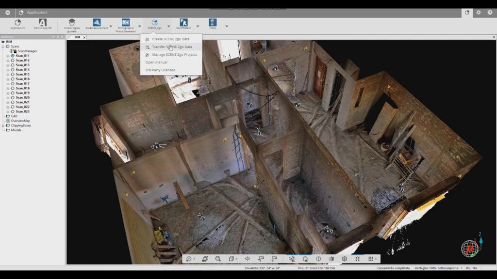
Is a stand alone application in which the scanned project can be visualized without additional software. This means that the project data can be passed on to any user, regardless of whether they are a Windows or MAC user.
When you get started, the application offers a floor plan overview of the entire project in which all scanning positions are marked. Simple area measurements can also be made in this floor plan view.
By double-clicking on the respective scanning position, the application switches to the respective 360° panoramic photo. From here you can view the entire construction situation, zoom in on any details and also take simple distance measurements.
Scene2go is particularly popular in the architectural sector as a supplement to 2D plans. This means you can always keep an eye on every detail of an inventory. The ideal basis for any further planning.
- Overview
- Stores your 3D point cloud data and associated panoramic photos on external storage and can be shared with anyone involved in the project
- Simple, intuitive operation, no training required
- The entire project can be viewed photorealistically from any scanning position; it can be zoomed, rotated and measured
- Does not require an internet connection for the functions
- The viewer runs on any MAC or WIN without additional software
- Simple area and distance measurements possible
- The ideal complement to 2D plans and 3D models