Impressive visuals with 2D/3D diagrams, analysis, animations and videos
When an incident occurs, investigators and forensic experts must establish the facts and thoroughly document the case. This process is critical for crash reconstruction, crime and fire investigation, and for creating courtroom presentations. FARO Zone 3D Pro and Zone 3D Expert – part of the new FARO Zone 2024 update – makes it easy to perform accurate analysis of an event and produce detailed visuals, such as precise 2D and 3D diagrams, compelling animations, and courtroom – ready reports.
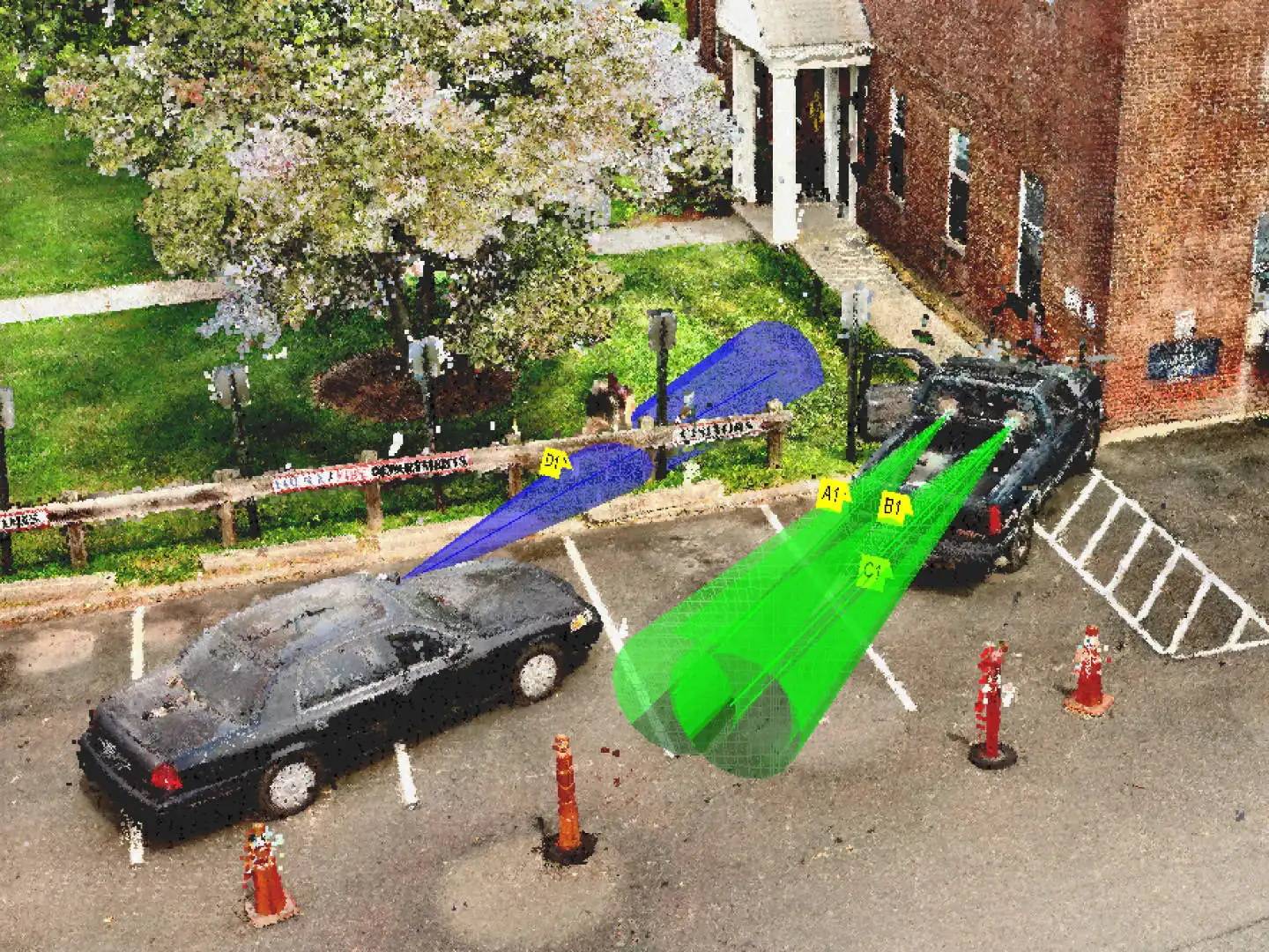
The latest FARO Zone 3D Expert update features FotoPoints, a new tool for photogrammetry and videogrammetry. This in-software function enables users to easily convert photos and videos from devices like drones and smartphones into precise 3D point clouds, eliminating the need for third-party software and cloud-based processing. FotoPoints also enables users to quickly generate scaled, high-resolution orthographic images for easy measurement, annotation, and diagram creation. FARO Zone 3D Expert now features MassZone Collision Prediction, which lets investigators create animations predicting crashes and their effects, such as the paths of vehicles, tire marks, and damage.
Zone 3D Pro and Zone 3D Expert Software are the most data-agnostic versions of Zone yet — making the most comprehensive scene documentation software on the market even better.

- Overview
Create Compelling Presentations
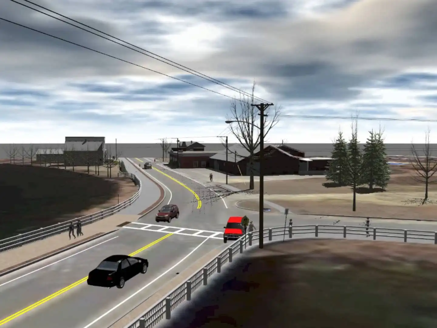
3D Walk-throughs and fly-throughs help jurors, investigators and other viewers gain a spatial understanding of the scene that is much more compelling than a 2D diagram.
Generate Accurate Diagrams
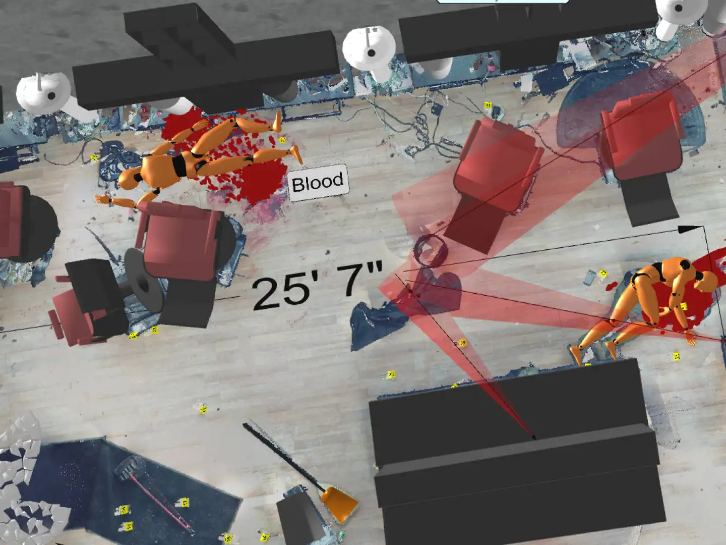
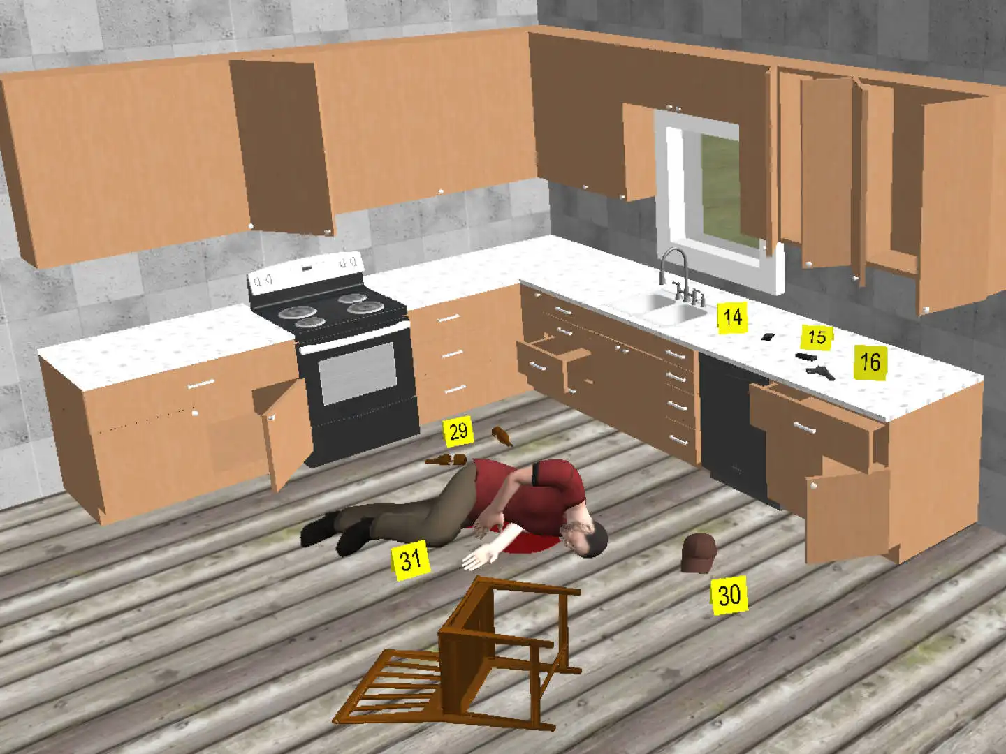
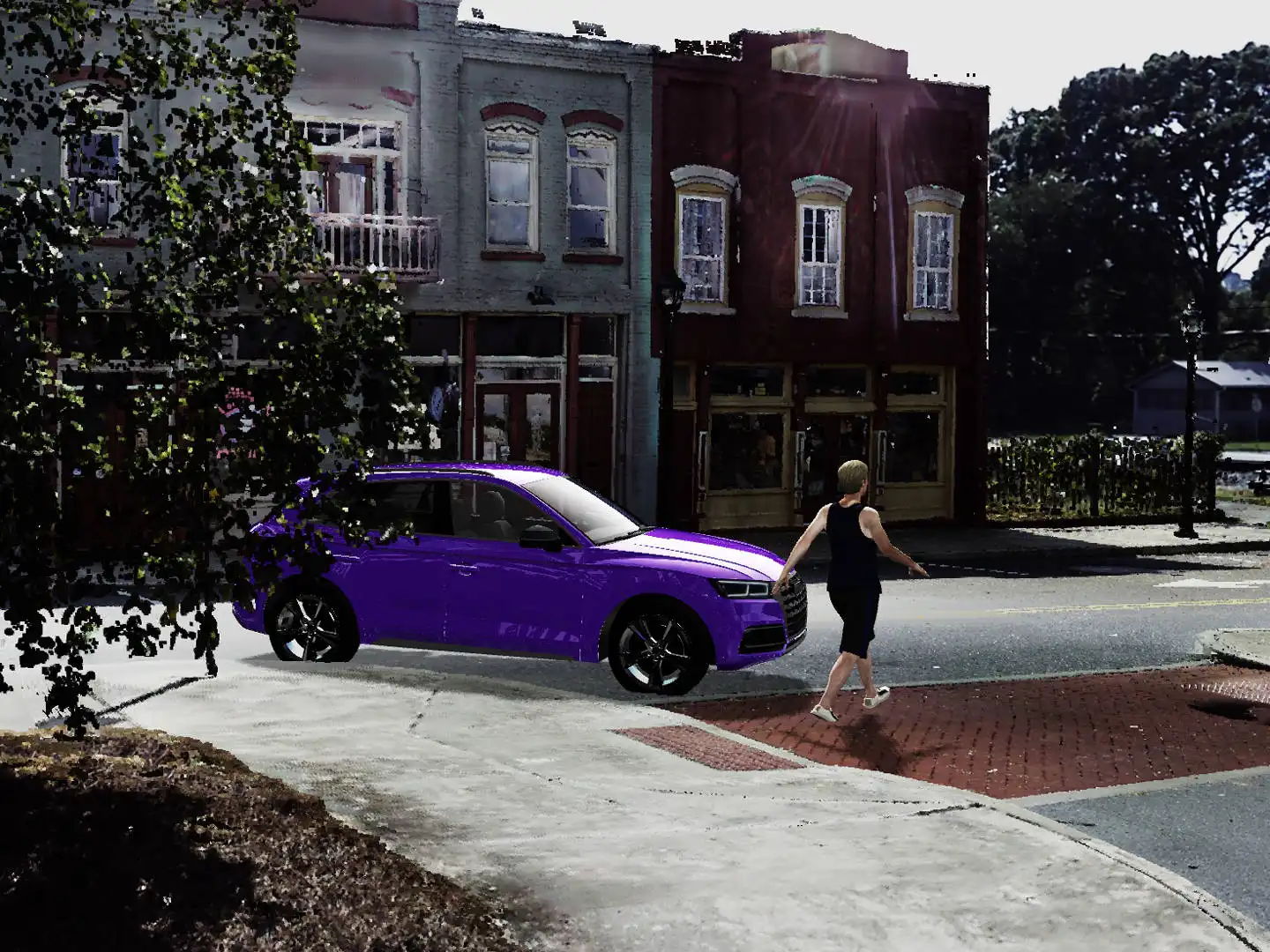
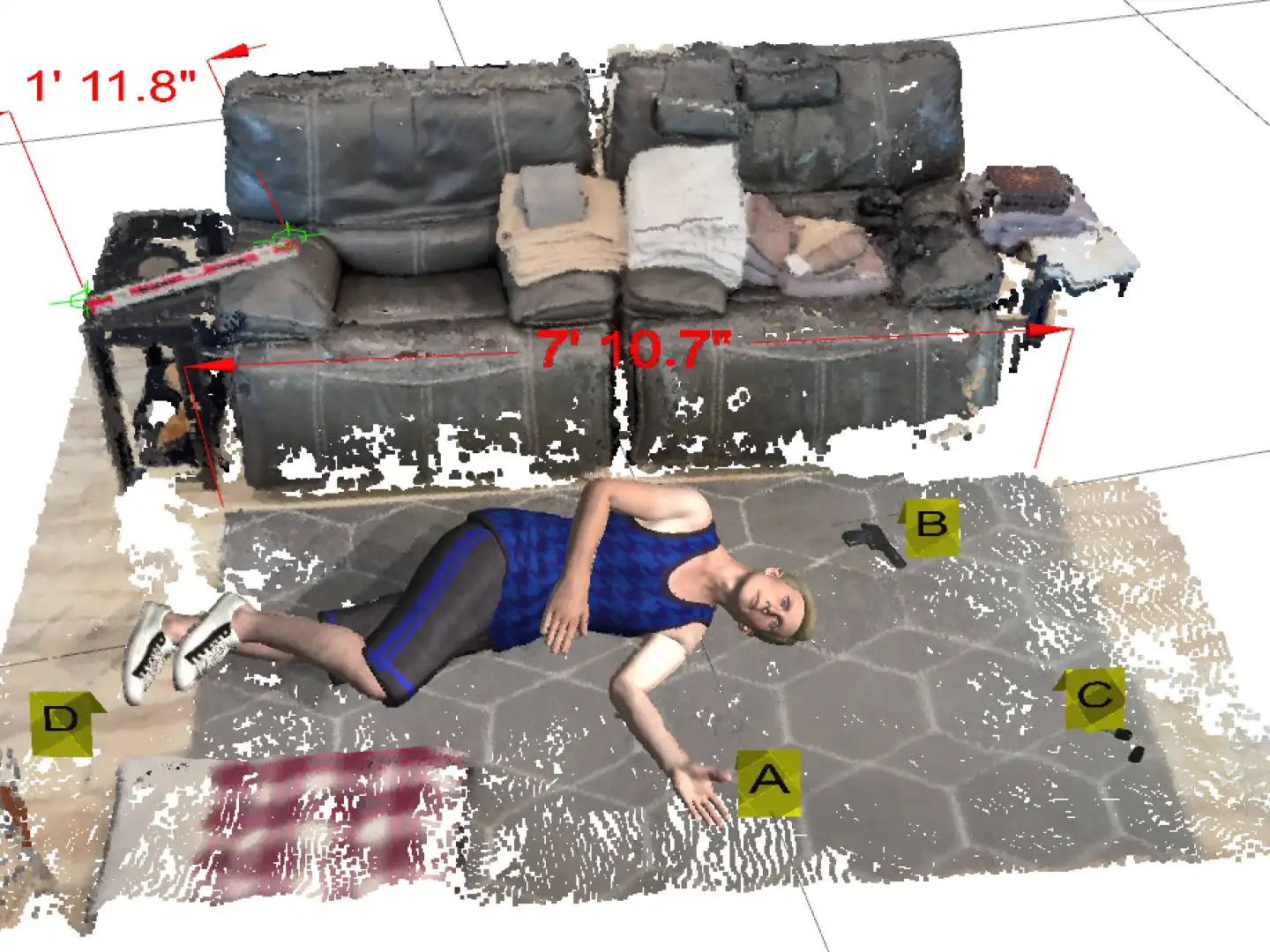
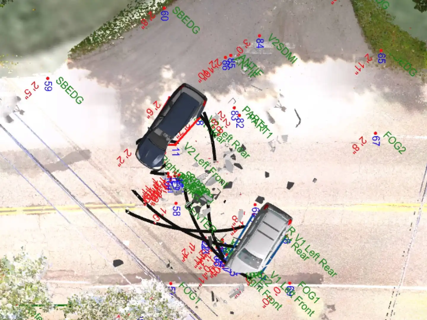
Create 2D and 3D diagrams that precisely represent all details of a crash, crime, or fire scene, with pre-drawn models, evidence placards, dimensions, posed bodies, and links to photographs and reports. Photorealistic scenes display multiple light sources, high-resolution material textures, fog, rain and snow.
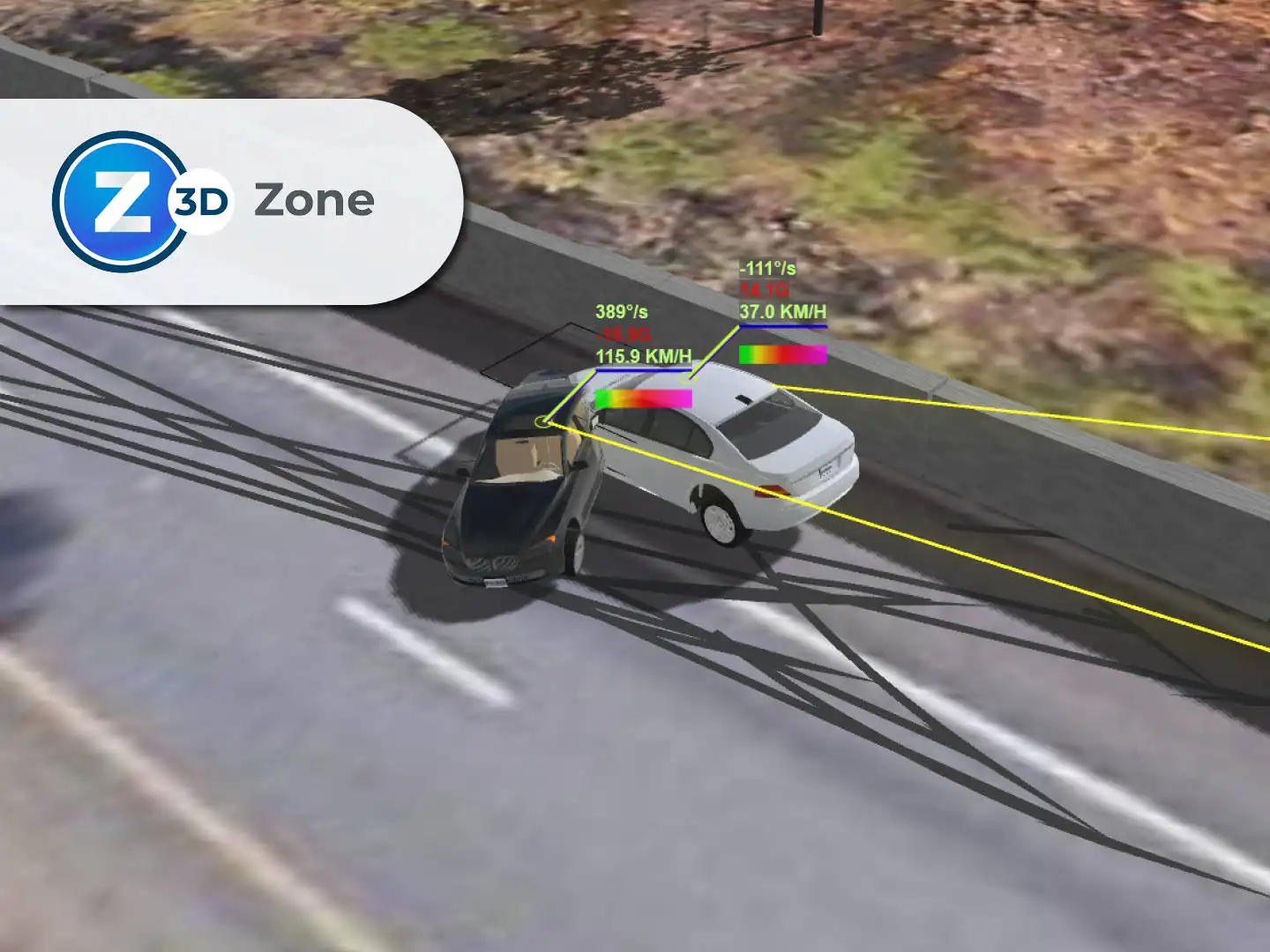
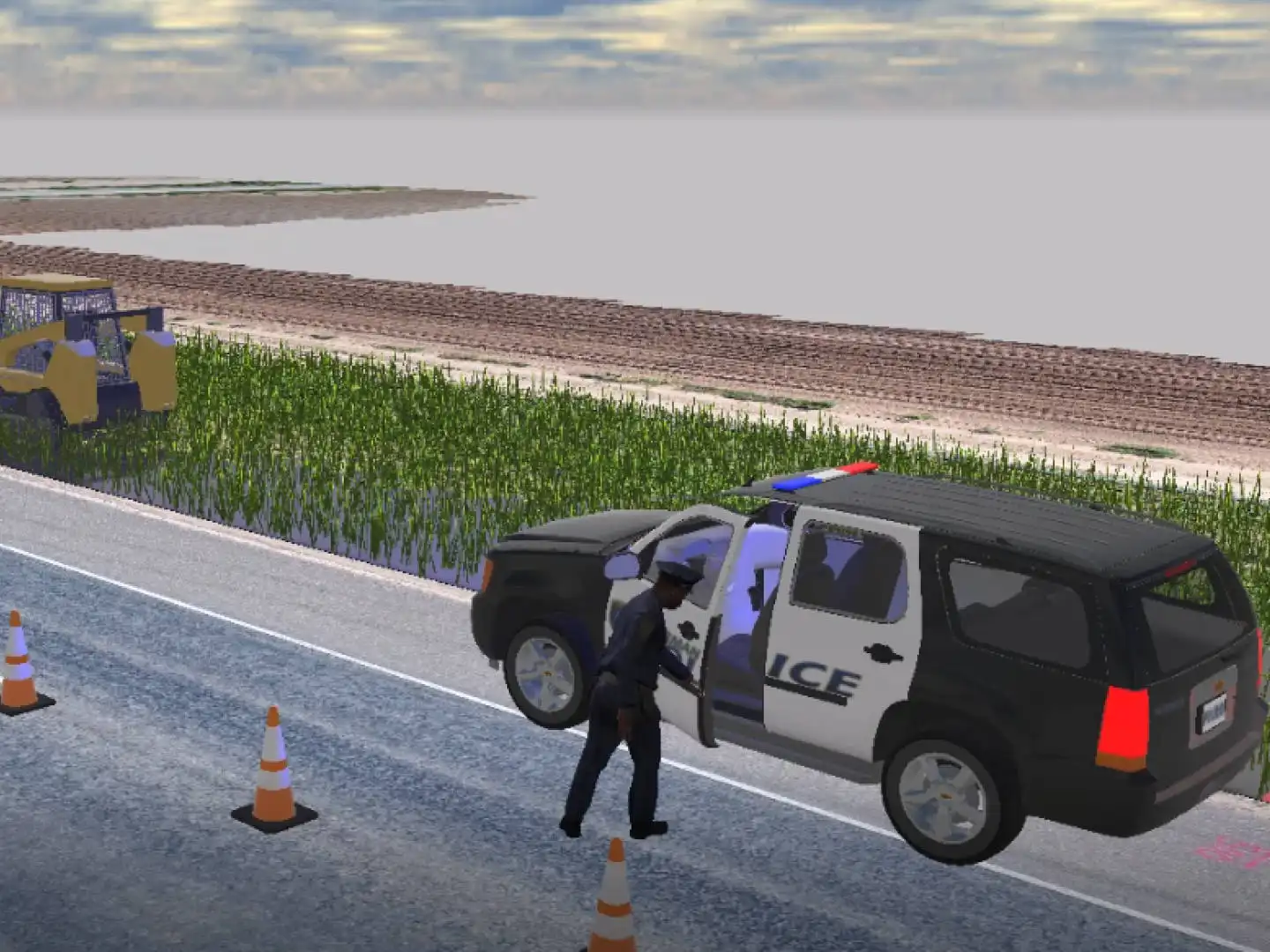
Animate Crashes in Seconds
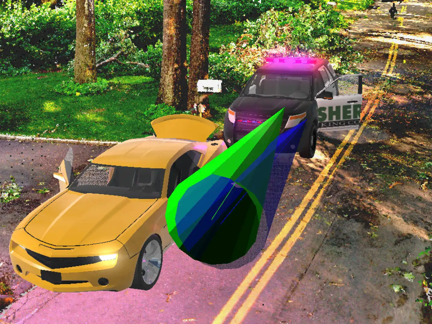
Use point-based accuracy to match crash animations exactly to measurements captured at the scene. Include advanced effects like spinning and locked wheels, car doors that open, trailer articulation, explosions, smoke and fire.
Fully Analyze Scenes in Zone 3D Expert
Analyze the scene with confidence using the independently validated tools for bullet trajectory and blood spatter pattern analysis. Crash analysis tools within Zone 3D Expert apply accepted formulas to perform crush analysis, calculate speed from skid marks, critical speed yaw, momentum and more.
Convert Photos and Videos to 3D and Generate Orthographic Images
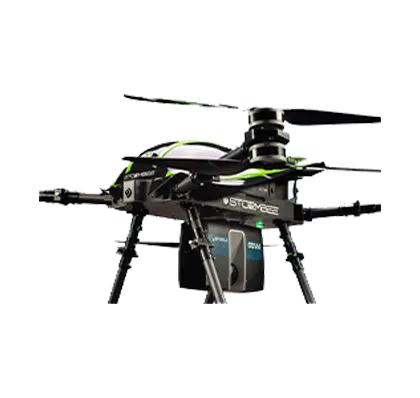
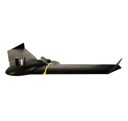
Use photo and video footage from your drone, phone, or other camera to generate a 3D point cloud with FotoPoints in Zone, allowing first arrivers to quickly document a scene with their mobile devices. Work in 2D with a real-world scale, high-res, top-down image of the scene, enabling a fast and easy way to measure, annotate, and create a 2D diagram for your crash or crime report.
Crash collision, path, and damage prediction
Quickly and easily create “what if” scenarios of various crash types while adding your existing animation to the MassZone system to compare your results with MassZone’s prediction animation.
Data Agnostic Compatibility
Bring in measurements from manual methods, drone photos, satellite maps, data from total stations, and data from laser scanners, even if they’re made by different manufacturers. Open diagrams from CAD Zone, ARAS, and other standard CAD formats.
Ease of Use
Features an intuitive user interface with constant feedback, helpful how-to videos, comprehensive documentation, integrated workflow guides and free instructor-led, online training.
The Leading 3D Investigation Software Platform
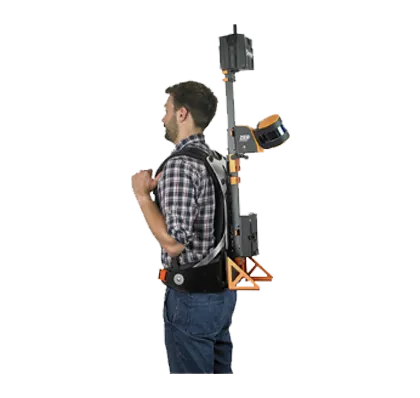
FARO Zone 3D Pro is a revolutionary software application for public safety professionals and the first of its kind to enable investigators to move fluidly between 2D and 3D environments, enhancing the quality of incident reconstruction analysis. For forensic investigators, Zone 3D Pro provides the ability to use point cloud data for creation of courtroom deliverables. Import manual measurements, aerial photographs, laser scans or total station data to quickly create 2D and 3D scene diagrams.
One Software Does It All
FARO Zone 3D Expert includes all the features of Zone 3D Pro — like the ability to use point clouds from laser scanners and drones — plus the capability to convert photographs and videos to a 3D point cloud, determine witness perspectives, create realistic animations, and share the results in a virtual reality environment. Being prepared for court has never been easier with the most data agnostic version of FARO Zone yet.
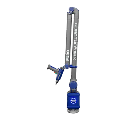
Point Cloud Capability
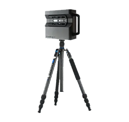
Zone 3D Pro and Zone 3D Expert can import point cloud data from laser scanners in .pts and .E57 formats, directly from FARO SCENE projects, and from drones in .las file format.
Data-Agnostic Compatibility
Open diagrams from CAD Zone, ARAS, and other standard CAD formats. Bring in measurements from manual methods, drone photos, satellite maps, data from total stations, and data from laser scanners, even if they’re made by different manufacturers.
Rearview Mirrors and Backup Camera
Left, Rearview (Center), and Right-side vehicle mirrors can be placed, positioned, and adjusted to simulate real mirrors in Zone animations and crash predictions. The Zone mirrors will display everything in the scene including point cloud data.
Billboard Annotation Tool
Quickly annotate and identify key elements in any 3D drawing or point cloud with the Billboard tool. Any selected object, text, symbol, or model is instantly elevated on a post always facing the camera, always visible from any viewpoint.
No Point Loss Direct Import of Legacy Point Clouds
Import and convert legacy point cloud data (e57, las, pts) to a lsproj/SCENE point cloud type. Previously, legacy point clouds imported a maximum of 150 million points and did not support gap fill, lighting, and other advanced point cloud settings. As a lsproj file there is no point loss when imported directly from the legacy source file and all Zone point cloud display features will be available.
Generate Report List from Data in Project
One click generates a list of all reports available in your current project.
360° Panoramic Animation
Use “Effective Reality” (no VR gear required) as a tool to turn your Zone animation into a 360° panoramic animation, enabling the user to look in any direction, left to right, up and down and share with anyone with the Windows Movie and TV player.
Pre-drawn 3D Models
Access a huge library of pre-drawn 2D symbols and 3D models for crash, crime and fire scenes. Add a comprehensive 2D floorplan or an architectural diagram. Show doors, stairs, elevators, control panels, hazardous materials and more with the pre-drawn symbols (such as accepted fire symbols like NFPA 170 and 704 placards) that are included.
Precise, Fast Drawings
Extensive drawing tools, paired with object grips and automatic snaps, make it easy to create accurate 2D and 3D diagrams to exact measurements.
Flexible Starting Point
Take measurements from almost any source and import manual measurement data from total stations and point cloud data from laser scanners and drones. Use an aerial map or drone data from EagleView, Google, or Bing to create easy-to-read pre-incident and threat assessment diagrams.
Compelling 3D Results
Create realistic fly-throughs, vehicle and human animations with shadows, rain, snow, fog, animated vehicle headlights, brake lights and traffic lights.
Intuitive User Interface
Features an intuitive user interface with constant feedback, helpful how-to videos, comprehensive documentation, integrated workflow guides and free self-paced, online training.