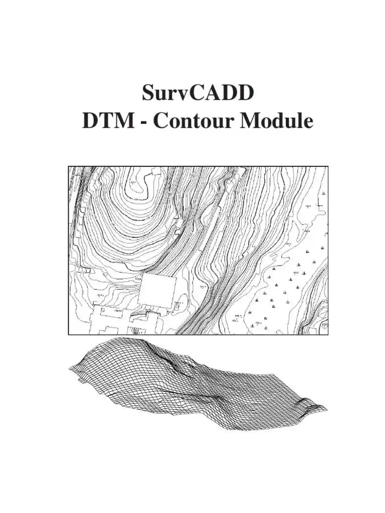
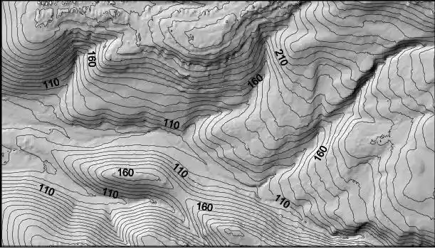
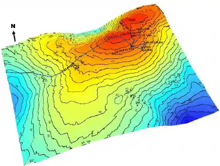
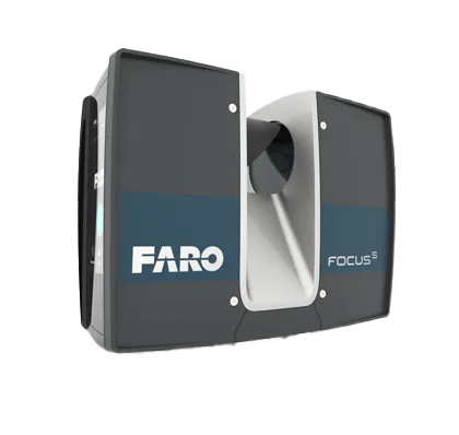
Digital Terrain Models and Digital Elevation Models are digital representations crucial in geography and GIS. DTMs specifically highlight natural terrain features, excluding structures and vegetation, offering a detailed view of the bare ground. On the other hand, DEMs provide a more comprehensive representation, including both terrain and above-ground elements like buildings and vegetation. These models, crafted from data sources like satellites and LiDAR (Light Detecting and Ranging), play pivotal roles in diverse applications such as environmental modeling, urban planning, and geological analysis. They serve as indispensable tools for spatial analysis and decision-making processes in various fields.