MultiPath Inspection Company stands at the forefront of the inspection industry, providing a comprehensive suite of services designed to meet the diverse needs of our clients. Our commitment to excellence, precision, and innovation sets us apart, making MultiPath the trusted choice for inspection solutions.
At MultiPath Inspection Company, our services go beyond routine inspections; they represent a commitment to excellence and a dedication to providing clients with actionable insights. With a focus on accuracy, safety, and innovation, MultiPath is your partner in ensuring the reliability and compliance of your structures and systems.
HERITAGE
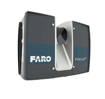
FARO 3D scanners and software are ideal conservation technology solutions for historic preservation and digital documentation.
OIL AND GAS
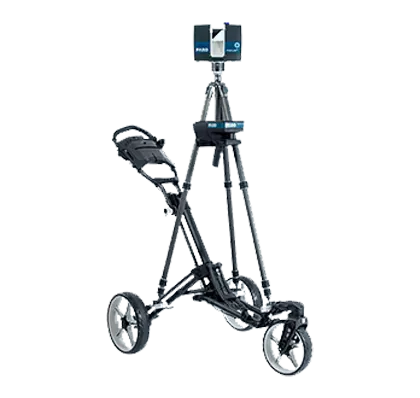
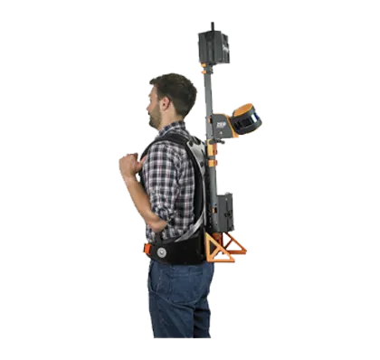
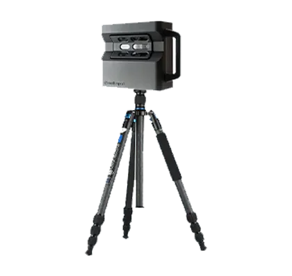
In utilizing 3D laser scanning data, we can capture and analyze high-density information on the conditions of objects with fast and accurate techniques.
Using the scan data as a reference, we can create as-built 3D models which provide insight into a structure or site in its current state as it was constructed.
Surveying Services
With FARO solutions, you’ll increase throughput without sacrificing quality, and you’ll be able to implement design revisions faster and more accurate than ever before.
DTMs specifically highlight natural terrain features, excluding structures and vegetation, offering a detailed view of the bare ground.
Urban planning is a multi-disciplinary project that involves urban planners, architects, and civil engineers.
For MEP (Mechanical, Electrical, and Plumbing) contractors, survey layout with 3D laser scanning technology is a difference-maker.
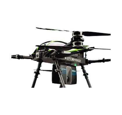
The drone takes power and portability to the next level, offering advanced features in a compact form factor. Intelligent shooting functions and excellent image quality put aerial masterpieces within reach.
Solid infrastructure, especially road construction, is the key to economic and systematic capability. When the physical installations supporting these systems falter, so do the systems.
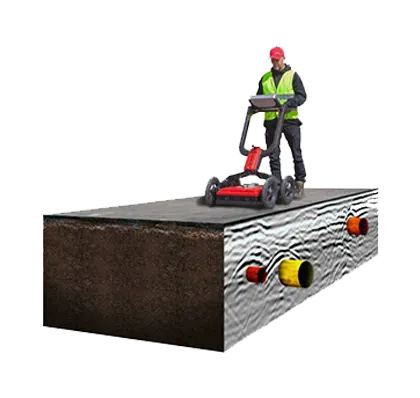
Ground Penetrating Radar is a non-destructive detection and imaging method that can be used to identify subsurface elements underground or within the surface to identify the depth and location.
Diverse technological expertise, collaborative focus, and a results-driven approach.
FARO solutions help ensure that buildings are constructed according to the accurate position of columns, MEP systems, and other components that is essential to the construction success.
MANUFACTURE
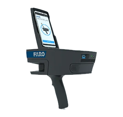
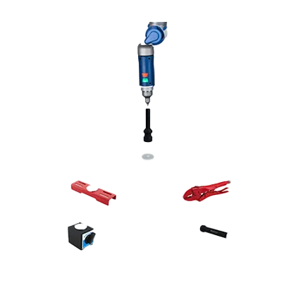
Generate missing CAD files and create or update as-built documentation by digitizing a part or object. FARO's contact and non-contact measuring solutions make it easy.
3D laser scanning is at the heart of this operation and is what allows these products and components to be manufactured.
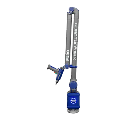
FARO Vantage Laser Trackers are ideal for many such tasks, including machine tool alignment, roll and press alignment, jig and fixture alignment, and CMM alignment.
This allowed them to create a working prototype the artist could try out to see if it fit and worked for his needs. Sometimes, this might be the end of the product design and reverse engineering process.
PUBLIC SAFETY
Determine the physical parameters and investigate the science of the collision that led to a crash using FARO's advanced 3D laser scanning technology.
Let the science behind crime scene investigations give you the necessary forensic information. FARO solutions make it possible to recover and record the evidence faster and safer.
FARO Focus Laser Scanners allow arson investigators to safely capture accurate 3D representations of the arson crime scene and preserve the evidence to determine the cause of the suspicious fire.
If you do not see your specific practice areas, please contact us
Completed Projects
On-going Projects
Hours of hard work
Get started
Schedule your personalized consultation today